18 Dunstan Rd.
Introduction
The photograph on this page of 18 Dunstan Rd. by N Chadwick as part of the Geograph project.
The Geograph project started in 2005 with the aim of publishing, organising and preserving representative images for every square kilometre of Great Britain, Ireland and the Isle of Man.

There are currently over 7.5m images from over 14,400 individuals and you can help contribute to the project by visiting https://www.geograph.org.uk
18 Dunstan Rd.
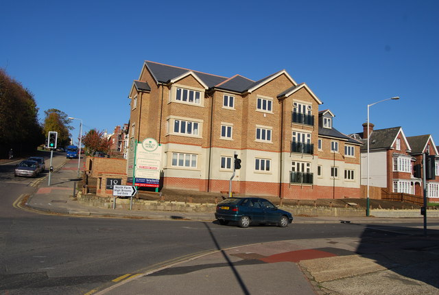
Image: © N Chadwick Taken: 28 Oct 2008
The former site of the Greyhound public house, now a redevelopment. To see what it looked like 6 months earlier http://www.geograph.org.uk/photo/767357
Images are licensed for reuse under creativecommons.org/licenses/by-sa/2.0
Image Location


Leaflet Map data © OpenStreetMap
Latitude
51.142019
Longitude
0.268562