Spire, First Bangor Presbyterian Church
Introduction
The photograph on this page of Spire, First Bangor Presbyterian Church by Rossographer as part of the Geograph project.
The Geograph project started in 2005 with the aim of publishing, organising and preserving representative images for every square kilometre of Great Britain, Ireland and the Isle of Man.

There are currently over 7.5m images from over 14,400 individuals and you can help contribute to the project by visiting https://www.geograph.org.uk
Spire, First Bangor Presbyterian Church
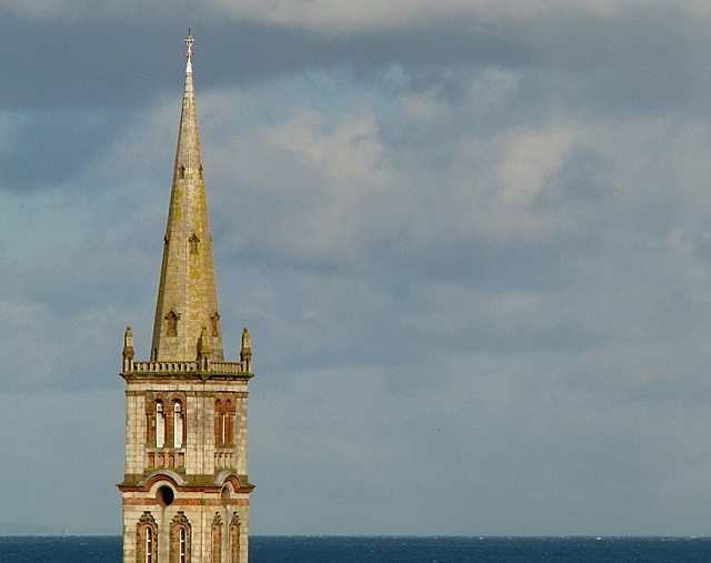
Image: © Rossographer Taken: 28 Oct 2008
Spire of Image Visible from throughout the town centre, this picture was taken from the Town Hall. Belfast Lough / the North Channel is beyond.
Images are licensed for reuse under creativecommons.org/licenses/by-sa/2.0
Image Location
Latitude
54.660586
Longitude
-5.668641