Victoria Street
Introduction
The photograph on this page of Victoria Street by David Rogers as part of the Geograph project.
The Geograph project started in 2005 with the aim of publishing, organising and preserving representative images for every square kilometre of Great Britain, Ireland and the Isle of Man.

There are currently over 7.5m images from over 14,400 individuals and you can help contribute to the project by visiting https://www.geograph.org.uk
Victoria Street
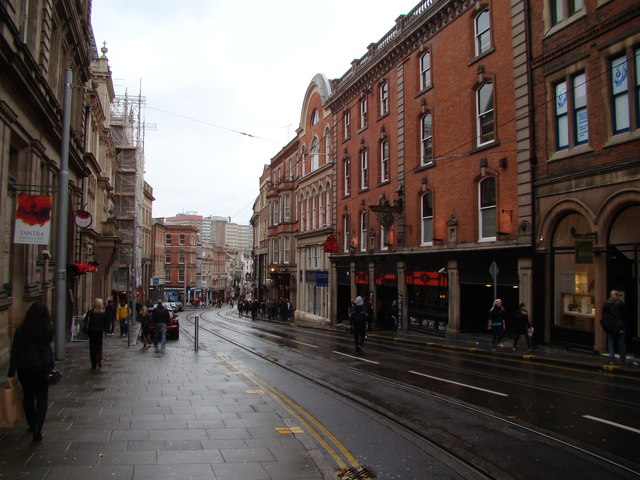
Image: © David Rogers Taken: 25 Oct 2008
Looking down Victoria Street towards the Old Market Square. The Pit & Pendulum is the second building seen on the right, with the Hog's Head a few doors beyond.
Images are licensed for reuse under creativecommons.org/licenses/by-sa/2.0
Image Location
Latitude
52.952966
Longitude
-1.147084