Postwar housing, Whitleigh
Introduction
The photograph on this page of Postwar housing, Whitleigh by Tony Atkin as part of the Geograph project.
The Geograph project started in 2005 with the aim of publishing, organising and preserving representative images for every square kilometre of Great Britain, Ireland and the Isle of Man.

There are currently over 7.5m images from over 14,400 individuals and you can help contribute to the project by visiting https://www.geograph.org.uk
Postwar housing, Whitleigh
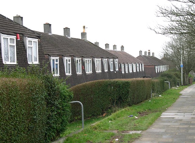
Image: © Tony Atkin Taken: 7 Jan 2006
These are typical of the houses originally built on the Whitleigh Estate.
Images are licensed for reuse under creativecommons.org/licenses/by-sa/2.0
Image Location
Latitude
50.416443
Longitude
-4.146471