Farmland, Bledlow Ridge
Introduction
The photograph on this page of Farmland, Bledlow Ridge by Andrew Smith as part of the Geograph project.
The Geograph project started in 2005 with the aim of publishing, organising and preserving representative images for every square kilometre of Great Britain, Ireland and the Isle of Man.

There are currently over 7.5m images from over 14,400 individuals and you can help contribute to the project by visiting https://www.geograph.org.uk
Farmland, Bledlow Ridge
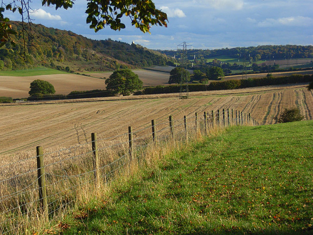
Image: © Andrew Smith Taken: 18 Oct 2008
Arable fields and pasture above Slough Bottom. The tower of West Wycombe church is visible at the end of the wooded ridge in the left half of the picture.
Images are licensed for reuse under creativecommons.org/licenses/by-sa/2.0
Image Location
Latitude
51.665964
Longitude
-0.831668