County Boundary Post near Stalbridge
Introduction
The photograph on this page of County Boundary Post near Stalbridge by Mike Faherty as part of the Geograph project.
The Geograph project started in 2005 with the aim of publishing, organising and preserving representative images for every square kilometre of Great Britain, Ireland and the Isle of Man.

There are currently over 7.5m images from over 14,400 individuals and you can help contribute to the project by visiting https://www.geograph.org.uk
County Boundary Post near Stalbridge
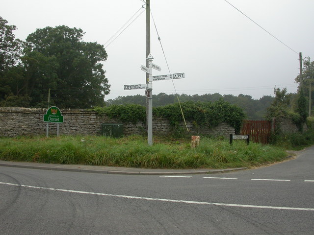
Image: © Mike Faherty Taken: 8 Sep 2007
On the A357 at the junction with Landshire Lane stands this boundary post. Cast-iron, V-shaped at the base, bevelled top dated 1909; DORSET vertically to the left, and SOMERSET vertically to the right. One of a number probably erected by Somerset. Note also the well-maintained SCC finger post.
Images are licensed for reuse under creativecommons.org/licenses/by-sa/2.0
Image Location
Latitude
50.97058
Longitude
-2.38818