Middle Farm Way - Poundbury
Introduction
The photograph on this page of Middle Farm Way - Poundbury by Sarah Smith as part of the Geograph project.
The Geograph project started in 2005 with the aim of publishing, organising and preserving representative images for every square kilometre of Great Britain, Ireland and the Isle of Man.

There are currently over 7.5m images from over 14,400 individuals and you can help contribute to the project by visiting https://www.geograph.org.uk
Middle Farm Way - Poundbury
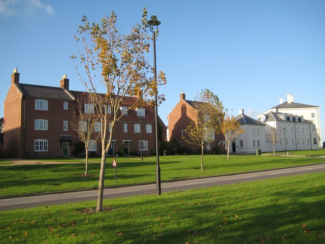
Image: © Sarah Smith Taken: 24 Oct 2008
Having left the Briport Road further west as a detour, Middle Farm Way now leads back to a roundabout onto the same road but nearer Dorchester. There are many new houses being built along its way.
Images are licensed for reuse under creativecommons.org/licenses/by-sa/2.0
Image Location
Latitude
50.711602
Longitude
-2.460534