Gentian Way, Brownsover
Introduction
The photograph on this page of Gentian Way, Brownsover by Stephen McKay as part of the Geograph project.
The Geograph project started in 2005 with the aim of publishing, organising and preserving representative images for every square kilometre of Great Britain, Ireland and the Isle of Man.

There are currently over 7.5m images from over 14,400 individuals and you can help contribute to the project by visiting https://www.geograph.org.uk
Gentian Way, Brownsover
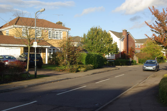
Image: © Stephen McKay Taken: 26 Oct 2008
Leafy suburban cul-de-sac at the north eastern tip of Brownsover, seen here from the junction with Campion Way.
Images are licensed for reuse under creativecommons.org/licenses/by-sa/2.0
Image Location
Latitude
52.394848
Longitude
-1.235624