River Garry Passing Power Station
Introduction
The photograph on this page of River Garry Passing Power Station by Sarah McGuire as part of the Geograph project.
The Geograph project started in 2005 with the aim of publishing, organising and preserving representative images for every square kilometre of Great Britain, Ireland and the Isle of Man.

There are currently over 7.5m images from over 14,400 individuals and you can help contribute to the project by visiting https://www.geograph.org.uk
River Garry Passing Power Station
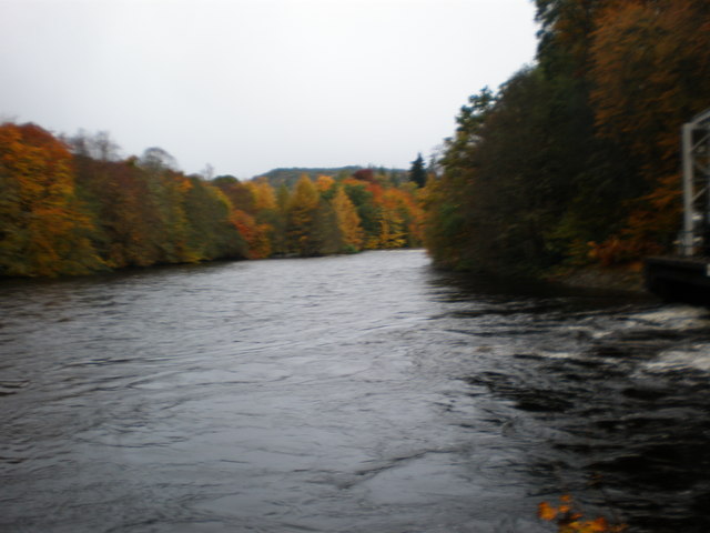
Image: © Sarah McGuire Taken: 26 Oct 2008
After 5 days of heavy rain that has swelled the river to near the top of the banks.
Images are licensed for reuse under creativecommons.org/licenses/by-sa/2.0
Image Location


Leaflet Map data © OpenStreetMap
Latitude
57.070093
Longitude
-4.777187