Old mine chimney near Druid
Introduction
The photograph on this page of Old mine chimney near Druid by Guy Wareham as part of the Geograph project.
The Geograph project started in 2005 with the aim of publishing, organising and preserving representative images for every square kilometre of Great Britain, Ireland and the Isle of Man.

There are currently over 7.5m images from over 14,400 individuals and you can help contribute to the project by visiting https://www.geograph.org.uk
Old mine chimney near Druid
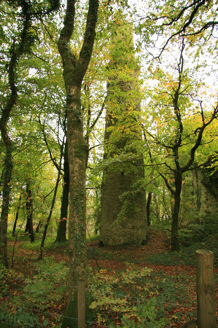
Image: © Guy Wareham Taken: 25 Oct 2008
This chimney was part of the Druid Copper Mine works; situated on private land the remains of the pit buildings are clearly visible from the road.
Images are licensed for reuse under creativecommons.org/licenses/by-sa/2.0
Image Location
Latitude
50.530401
Longitude
-3.772493