Hughenden Park, High Wycombe
Introduction
The photograph on this page of Hughenden Park, High Wycombe by Andrew Smith as part of the Geograph project.
The Geograph project started in 2005 with the aim of publishing, organising and preserving representative images for every square kilometre of Great Britain, Ireland and the Isle of Man.

There are currently over 7.5m images from over 14,400 individuals and you can help contribute to the project by visiting https://www.geograph.org.uk
Hughenden Park, High Wycombe
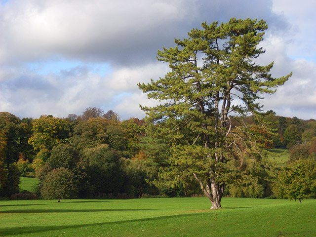
Image: © Andrew Smith Taken: 18 Oct 2008
This shows the council-owned park that abuts the National Trust's estate to the north. The land slopes down to the stream that drains the lower part of the Hughenden valley. The cedar is one of a variety of fine trees.
Images are licensed for reuse under creativecommons.org/licenses/by-sa/2.0
Image Location
Latitude
51.644472
Longitude
-0.752731