Westcotes Park, Leicester
Introduction
The photograph on this page of Westcotes Park, Leicester by Kate Jewell as part of the Geograph project.
The Geograph project started in 2005 with the aim of publishing, organising and preserving representative images for every square kilometre of Great Britain, Ireland and the Isle of Man.

There are currently over 7.5m images from over 14,400 individuals and you can help contribute to the project by visiting https://www.geograph.org.uk
Westcotes Park, Leicester
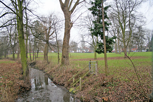
Image: © Kate Jewell Taken: 6 Jan 2006
Looking NE across this small park on Braunstone Avenue. Three sides are bounded by housing, (the houses in the photograph are on Winchester Avenue). On the fourth side, behind the view point, are Imperial Avenue and an infant and junior school.
Images are licensed for reuse under creativecommons.org/licenses/by-sa/2.0
Image Location


Leaflet Map data © OpenStreetMap
Latitude
52.625563
Longitude
-1.160257