Tavistock railway viaduct
Introduction
The photograph on this page of Tavistock railway viaduct by Nigel Cox as part of the Geograph project.
The Geograph project started in 2005 with the aim of publishing, organising and preserving representative images for every square kilometre of Great Britain, Ireland and the Isle of Man.

There are currently over 7.5m images from over 14,400 individuals and you can help contribute to the project by visiting https://www.geograph.org.uk
Tavistock railway viaduct
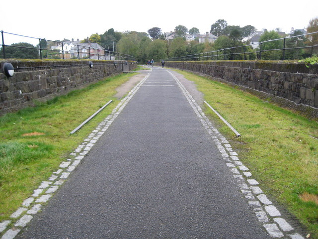
Image: © Nigel Cox Taken: 6 Oct 2008
The viaduct was opened in 1890 on the Plymouth Devonport and South Western Junction Railway's double track line from Plymouth to Lydford. The tracks were lifted after closure in 1968 and the trackbed now forms a section of the National Cycle Network's Route 27, the Devon Coast to Coast route. (From a purely Geograph point of view the 248000 Easting gridline crosses the viaduct around its halfway point so this view is looking into Image too.)
Images are licensed for reuse under creativecommons.org/licenses/by-sa/2.0
Image Location
Latitude
50.551438
Longitude
-4.146951