The Squire & Horse Inn, Bury Common
Introduction
The photograph on this page of The Squire & Horse Inn, Bury Common by Simon Carey as part of the Geograph project.
The Geograph project started in 2005 with the aim of publishing, organising and preserving representative images for every square kilometre of Great Britain, Ireland and the Isle of Man.

There are currently over 7.5m images from over 14,400 individuals and you can help contribute to the project by visiting https://www.geograph.org.uk
The Squire & Horse Inn, Bury Common
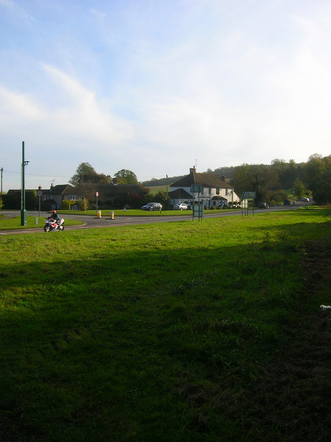
Image: © Simon Carey Taken: 24 Oct 2008
On the A29 next to the junction with The Street. On Yeakall & Gardner's map of 1783 the main road turns into The Street and goes through the centre of the village. By 1813 a by-pass had been constructed which is the course of the current A29.
Images are licensed for reuse under creativecommons.org/licenses/by-sa/2.0
Image Location
Latitude
50.90847
Longitude
-0.566117