Old Mill House, Boarley Lane, Sandling
Introduction
The photograph on this page of Old Mill House, Boarley Lane, Sandling by Penny Mayes as part of the Geograph project.
The Geograph project started in 2005 with the aim of publishing, organising and preserving representative images for every square kilometre of Great Britain, Ireland and the Isle of Man.

There are currently over 7.5m images from over 14,400 individuals and you can help contribute to the project by visiting https://www.geograph.org.uk
Old Mill House, Boarley Lane, Sandling
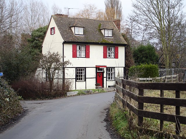
Image: © Penny Mayes Taken: 5 Jan 2006
Marked on the 19th century map as Boxley Mill (corn). The mill building, to the right of the house, has been destroyed by fire in recent years.
Images are licensed for reuse under creativecommons.org/licenses/by-sa/2.0
Image Location
Latitude
51.29591
Longitude
0.51441