Farmland at Wern-fawr
Introduction
The photograph on this page of Farmland at Wern-fawr by Graham Horn as part of the Geograph project.
The Geograph project started in 2005 with the aim of publishing, organising and preserving representative images for every square kilometre of Great Britain, Ireland and the Isle of Man.

There are currently over 7.5m images from over 14,400 individuals and you can help contribute to the project by visiting https://www.geograph.org.uk
Farmland at Wern-fawr
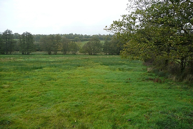
Image: © Graham Horn Taken: 20 Oct 2008
Off the A40 and looking north, more pasture in the lower lying parts of the square.
Images are licensed for reuse under creativecommons.org/licenses/by-sa/2.0
Image Location
Latitude
51.890526
Longitude
-4.051644