Near Rhiw-yr-adar
Introduction
The photograph on this page of Near Rhiw-yr-adar by Graham Horn as part of the Geograph project.
The Geograph project started in 2005 with the aim of publishing, organising and preserving representative images for every square kilometre of Great Britain, Ireland and the Isle of Man.

There are currently over 7.5m images from over 14,400 individuals and you can help contribute to the project by visiting https://www.geograph.org.uk
Near Rhiw-yr-adar
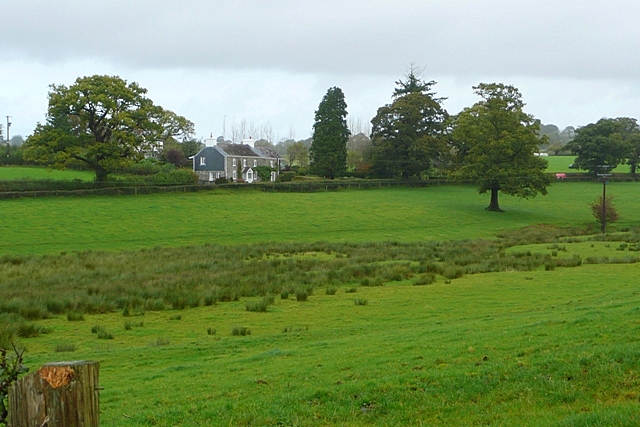
Image: © Graham Horn Taken: 20 Oct 2008
A stream goes along the lowest part of this field shortly to join Afon Myddyfi. The house is shown on maps by a land junction but not named.
Images are licensed for reuse under creativecommons.org/licenses/by-sa/2.0
Image Location
Latitude
51.88969
Longitude
-4.037655