2008 : Green Farm, on the old road to Nunney
Introduction
The photograph on this page of 2008 : Green Farm, on the old road to Nunney by Maurice Pullin as part of the Geograph project.
The Geograph project started in 2005 with the aim of publishing, organising and preserving representative images for every square kilometre of Great Britain, Ireland and the Isle of Man.

There are currently over 7.5m images from over 14,400 individuals and you can help contribute to the project by visiting https://www.geograph.org.uk
2008 : Green Farm, on the old road to Nunney
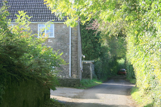
Image: © Maurice Pullin Taken: 9 Oct 2008
A few hundred yards further on the road takes you through Dead Woman's Bottom.
Images are licensed for reuse under creativecommons.org/licenses/by-sa/2.0
Image Location
Latitude
51.217064
Longitude
-2.411727