BBC communication satellite centre
Introduction
The photograph on this page of BBC communication satellite centre by J Taylor as part of the Geograph project.
The Geograph project started in 2005 with the aim of publishing, organising and preserving representative images for every square kilometre of Great Britain, Ireland and the Isle of Man.

There are currently over 7.5m images from over 14,400 individuals and you can help contribute to the project by visiting https://www.geograph.org.uk
BBC communication satellite centre
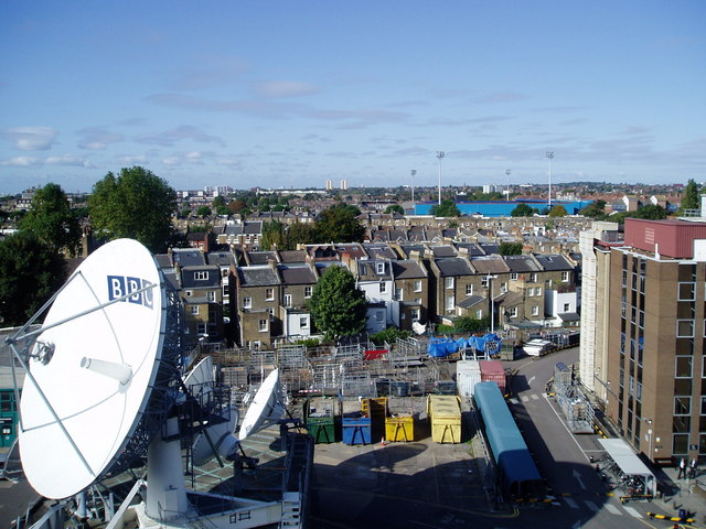
Image: © J Taylor Taken: 3 Oct 2008
Photograph taken from the TVC multi-storey car park. The blue building in the background is the Loftus Road football stadium. The home of QPR. The houses in the middle distance are the backs of Frithville Gardens (Hammersmith Park end).
Images are licensed for reuse under creativecommons.org/licenses/by-sa/2.0
Image Location
Latitude
51.509114
Longitude
-0.226569