Summerlee Industrial museum
Introduction
The photograph on this page of Summerlee Industrial museum by Thomas Nugent as part of the Geograph project.
The Geograph project started in 2005 with the aim of publishing, organising and preserving representative images for every square kilometre of Great Britain, Ireland and the Isle of Man.

There are currently over 7.5m images from over 14,400 individuals and you can help contribute to the project by visiting https://www.geograph.org.uk
Summerlee Industrial museum
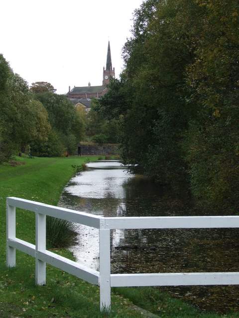
Image: © Thomas Nugent Taken: 20 Oct 2008
Part of the preserved branch of the former Monklands canal within the museum grounds. St Andrew's church is visible in the distance Image
Images are licensed for reuse under creativecommons.org/licenses/by-sa/2.0
Image Location


Leaflet Map data © OpenStreetMap
Latitude
55.866761
Longitude
-4.032599