Lichfield Grove
Introduction
The photograph on this page of Lichfield Grove by Martin Addison as part of the Geograph project.
The Geograph project started in 2005 with the aim of publishing, organising and preserving representative images for every square kilometre of Great Britain, Ireland and the Isle of Man.

There are currently over 7.5m images from over 14,400 individuals and you can help contribute to the project by visiting https://www.geograph.org.uk
Lichfield Grove
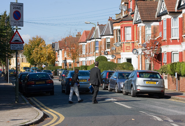
Image: © Martin Addison Taken: 22 Oct 2008
Seen here at the junction with Manor View. A father and son cross the road between the steady flow of traffic on this popular route through to Regents Park Road.
Images are licensed for reuse under creativecommons.org/licenses/by-sa/2.0
Image Location
Latitude
51.597537
Longitude
-0.187175