Farmland near Alltygaer
Introduction
The photograph on this page of Farmland near Alltygaer by Graham Horn as part of the Geograph project.
The Geograph project started in 2005 with the aim of publishing, organising and preserving representative images for every square kilometre of Great Britain, Ireland and the Isle of Man.

There are currently over 7.5m images from over 14,400 individuals and you can help contribute to the project by visiting https://www.geograph.org.uk
Farmland near Alltygaer
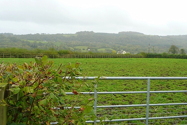
Image: © Graham Horn Taken: 20 Oct 2008
Looking south from the lane to Alltygaer towards the other farm in this low lying pasture square, Pentre-Davis. This is the opposite view to that seen in this fascinating aerial picture by Anthony Stevenson. http://www.geograph.org.uk/photo/750737
Images are licensed for reuse under creativecommons.org/licenses/by-sa/2.0
Image Location
Latitude
51.866621
Longitude
-4.076411