Pont Rhiw-yr-adar
Introduction
The photograph on this page of Pont Rhiw-yr-adar by Graham Horn as part of the Geograph project.
The Geograph project started in 2005 with the aim of publishing, organising and preserving representative images for every square kilometre of Great Britain, Ireland and the Isle of Man.

There are currently over 7.5m images from over 14,400 individuals and you can help contribute to the project by visiting https://www.geograph.org.uk
Pont Rhiw-yr-adar
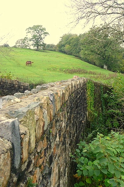
Image: © Graham Horn Taken: 20 Oct 2008
A stone bridge over a stream that flows into the Afon Tywi, with rolling hill pasture behind.
Images are licensed for reuse under creativecommons.org/licenses/by-sa/2.0
Image Location
Latitude
51.888359
Longitude
-4.041809