Four Lane Ends
Introduction
The photograph on this page of Four Lane Ends by Mike and Kirsty Grundy as part of the Geograph project.
The Geograph project started in 2005 with the aim of publishing, organising and preserving representative images for every square kilometre of Great Britain, Ireland and the Isle of Man.

There are currently over 7.5m images from over 14,400 individuals and you can help contribute to the project by visiting https://www.geograph.org.uk
Four Lane Ends
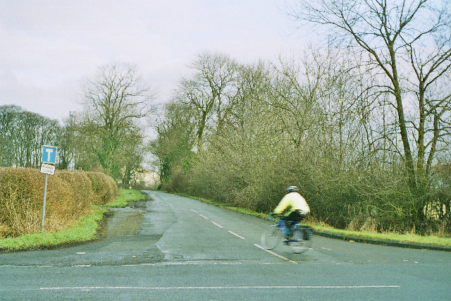
Image: © Mike and Kirsty Grundy Taken: 4 Jan 2006
Looking NE along the old A59, now bypassed and turned into a quiet route for cyclists and walkers.
Images are licensed for reuse under creativecommons.org/licenses/by-sa/2.0
Image Location
Latitude
53.862829
Longitude
-2.375534