A59 passing Samlesbury Airport
Introduction
The photograph on this page of A59 passing Samlesbury Airport by Mike and Kirsty Grundy as part of the Geograph project.
The Geograph project started in 2005 with the aim of publishing, organising and preserving representative images for every square kilometre of Great Britain, Ireland and the Isle of Man.

There are currently over 7.5m images from over 14,400 individuals and you can help contribute to the project by visiting https://www.geograph.org.uk
A59 passing Samlesbury Airport
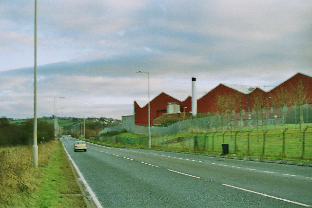
Image: © Mike and Kirsty Grundy Taken: 1 Jan 2006
Looking E toward Mellor. The airport/aircraft factory is used by BAE to produce parts for the Eurofighter which accounts for the double fences of razor wire.
Images are licensed for reuse under creativecommons.org/licenses/by-sa/2.0
Image Location
Latitude
53.779406
Longitude
-2.562961