A1400 at Clayhall
Introduction
The photograph on this page of A1400 at Clayhall by John Davies as part of the Geograph project.
The Geograph project started in 2005 with the aim of publishing, organising and preserving representative images for every square kilometre of Great Britain, Ireland and the Isle of Man.

There are currently over 7.5m images from over 14,400 individuals and you can help contribute to the project by visiting https://www.geograph.org.uk
A1400 at Clayhall
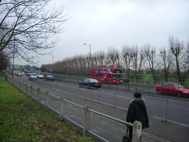
Image: © John Davies Taken: 5 Jan 2006
A typical suburban London highway, looking east in the direction of Gants Hill, where it joins the A12. To the west it joins the North Circular A406 at Charlie Browns.
Images are licensed for reuse under creativecommons.org/licenses/by-sa/2.0
Image Location
Latitude
51.589165
Longitude
0.04838