Bagillt United Reformed Church
Introduction
The photograph on this page of Bagillt United Reformed Church by Phil Williams as part of the Geograph project.
The Geograph project started in 2005 with the aim of publishing, organising and preserving representative images for every square kilometre of Great Britain, Ireland and the Isle of Man.

There are currently over 7.5m images from over 14,400 individuals and you can help contribute to the project by visiting https://www.geograph.org.uk
Bagillt United Reformed Church
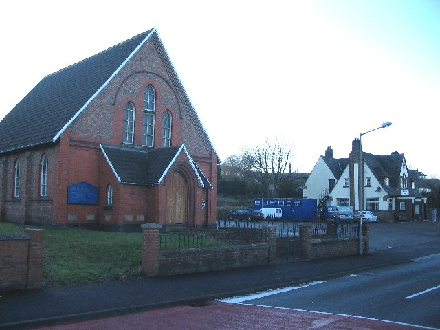
Image: © Phil Williams Taken: 1 Jan 2006
A view looking west across what was once the A548 through Bagillt to the United Reformed Church and the Feathers public house beyond.
Images are licensed for reuse under creativecommons.org/licenses/by-sa/2.0
Image Location
Latitude
53.271569
Longitude
-3.177063