Out hacking
Introduction
The photograph on this page of Out hacking by Grant Baker as part of the Geograph project.
The Geograph project started in 2005 with the aim of publishing, organising and preserving representative images for every square kilometre of Great Britain, Ireland and the Isle of Man.

There are currently over 7.5m images from over 14,400 individuals and you can help contribute to the project by visiting https://www.geograph.org.uk
Out hacking
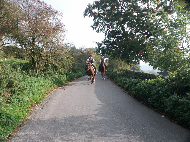
Image: © Grant Baker Taken: 16 Oct 2005
Just up past the rattle coming out of Ashover.
Images are licensed for reuse under creativecommons.org/licenses/by-sa/2.0
Image Location
Latitude
53.171101
Longitude
-1.485348