The Flying Fortress
Introduction
The photograph on this page of The Flying Fortress by Greg Aspland as part of the Geograph project.
The Geograph project started in 2005 with the aim of publishing, organising and preserving representative images for every square kilometre of Great Britain, Ireland and the Isle of Man.

There are currently over 7.5m images from over 14,400 individuals and you can help contribute to the project by visiting https://www.geograph.org.uk
The Flying Fortress
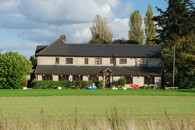
Image: © Greg Aspland Taken: 18 Oct 2008
As seen from a new road, looking away from Bury St Edmunds. This is a side view of the pub, the front being on the left in this photo.
Images are licensed for reuse under creativecommons.org/licenses/by-sa/2.0
Image Location
Latitude
52.24785
Longitude
0.758804