The End of the Line
Introduction
The photograph on this page of The End of the Line by Bob Jenkins as part of the Geograph project.
The Geograph project started in 2005 with the aim of publishing, organising and preserving representative images for every square kilometre of Great Britain, Ireland and the Isle of Man.

There are currently over 7.5m images from over 14,400 individuals and you can help contribute to the project by visiting https://www.geograph.org.uk
The End of the Line
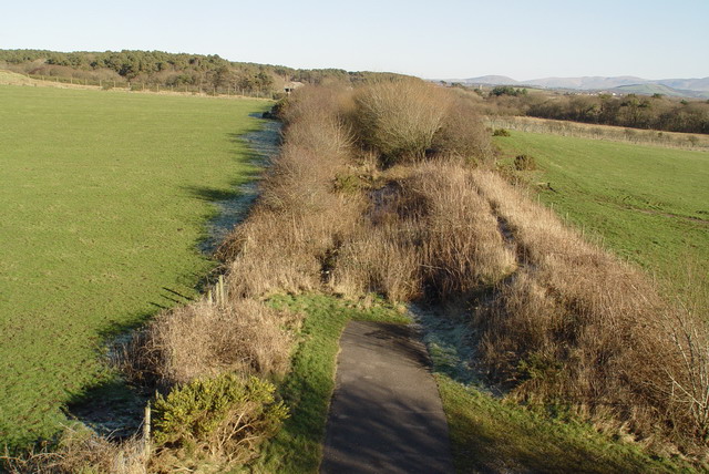
Image: © Bob Jenkins Taken: 7 Feb 2007
This is the current end of the converted railway line, along which runs the c2c cycleway. The Route turns off about 1km before this. The way ahead lies through the old Royal Naval Arms Depot, due to be redeveloped for leisure purposes.
Images are licensed for reuse under creativecommons.org/licenses/by-sa/2.0
Image Location
Latitude
54.66949
Longitude
-3.482304