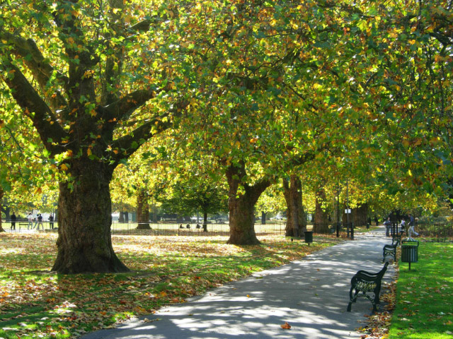
Kennington Park
Introduction
The photograph on this page of Kennington Park by Stephen McKay as part of the Geograph project.
The Geograph project started in 2005 with the aim of publishing, organising and preserving representative images for every square kilometre of Great Britain, Ireland and the Isle of Man.
There are currently over 7.5m images from over 14,400 individuals and you can help contribute to the project by visiting https://www.geograph.org.uk

Image: © Stephen McKay Taken: 16 Oct 2008
Kennington Park was originally common land, but was laid out as a park in the mid-19th century. In the 17th and 18th centuries it was the site of public executions and in 1848 a major chartist rally was held here which led directly to a change in the law extending the franchise in 1852. During the Second World War a communal shallow-trench air raid shelter was built here which suffered a direct hit in October 1940 killing at least 46 people. The full story of this terrible event is told here: http://www.vauxhallandkennington.org.uk/forgottentragedy.pdf .

