Holly House Development
Introduction
The photograph on this page of Holly House Development by Robert Wade as part of the Geograph project.
The Geograph project started in 2005 with the aim of publishing, organising and preserving representative images for every square kilometre of Great Britain, Ireland and the Isle of Man.

There are currently over 7.5m images from over 14,400 individuals and you can help contribute to the project by visiting https://www.geograph.org.uk
Holly House Development
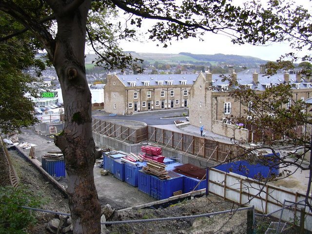
Image: © Robert Wade Taken: 15 Oct 2008
The construction firm involved has gone "Bust" so we will have to wait and see what happens.
Images are licensed for reuse under creativecommons.org/licenses/by-sa/2.0
Image Location
Latitude
53.702096
Longitude
-2.288063