Strang Street at its junction with Arbroath Road
Introduction
The photograph on this page of Strang Street at its junction with Arbroath Road by Alan Morrison as part of the Geograph project.
The Geograph project started in 2005 with the aim of publishing, organising and preserving representative images for every square kilometre of Great Britain, Ireland and the Isle of Man.

There are currently over 7.5m images from over 14,400 individuals and you can help contribute to the project by visiting https://www.geograph.org.uk
Strang Street at its junction with Arbroath Road
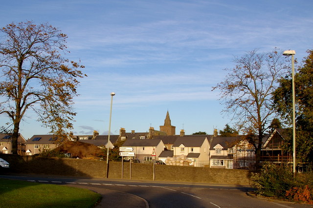
Image: © Alan Morrison Taken: 16 Oct 2008
In the background new houses are shown, but this was Forfar Infirmary for many many years.
Images are licensed for reuse under creativecommons.org/licenses/by-sa/2.0
Image Location
Latitude
56.645019
Longitude
-2.877259