West Lorne Street
Introduction
The photograph on this page of West Lorne Street by John S Turner as part of the Geograph project.
The Geograph project started in 2005 with the aim of publishing, organising and preserving representative images for every square kilometre of Great Britain, Ireland and the Isle of Man.

There are currently over 7.5m images from over 14,400 individuals and you can help contribute to the project by visiting https://www.geograph.org.uk
West Lorne Street
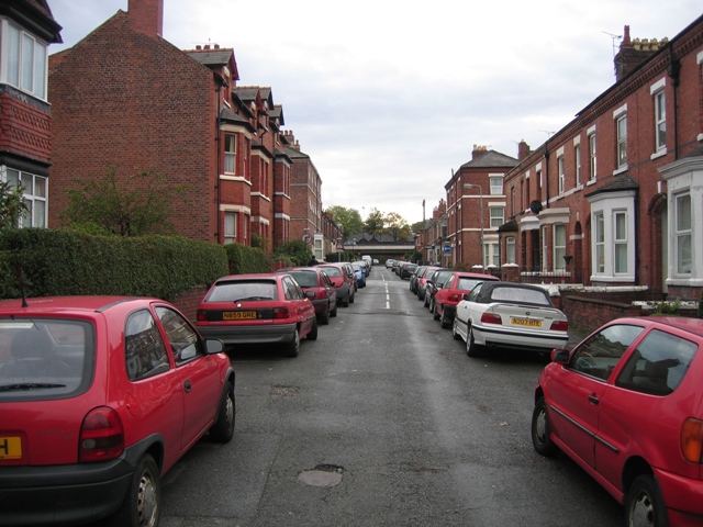
Image: © John S Turner Taken: 14 Oct 2008
Looking south southeast along West Lorne Street in Chester University bedsit land. The horizontal white line in the distance is the inner ring-road, which passes very close to the roofs of the houses.
Images are licensed for reuse under creativecommons.org/licenses/by-sa/2.0
Image Location
Latitude
53.196257
Longitude
-2.895975