Offices, Bridport Road in Poundbury
Introduction
The photograph on this page of Offices, Bridport Road in Poundbury by Pierre Terre as part of the Geograph project.
The Geograph project started in 2005 with the aim of publishing, organising and preserving representative images for every square kilometre of Great Britain, Ireland and the Isle of Man.

There are currently over 7.5m images from over 14,400 individuals and you can help contribute to the project by visiting https://www.geograph.org.uk
Offices, Bridport Road in Poundbury
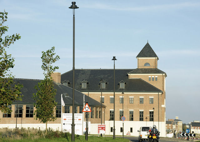
Image: © Pierre Terre Taken: 21 Sep 2008
Looking east to the junction of Bridport Road and Paceycombe Way in the new suburb of Poundbury, created on Duchy of Cornwall land.
Images are licensed for reuse under creativecommons.org/licenses/by-sa/2.0
Image Location
Latitude
50.711412
Longitude
-2.463082