Paddock at Well Place
Introduction
The photograph on this page of Paddock at Well Place by Graham Horn as part of the Geograph project.
The Geograph project started in 2005 with the aim of publishing, organising and preserving representative images for every square kilometre of Great Britain, Ireland and the Isle of Man.

There are currently over 7.5m images from over 14,400 individuals and you can help contribute to the project by visiting https://www.geograph.org.uk
Paddock at Well Place
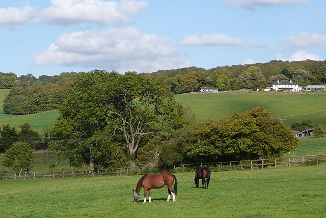
Image: © Graham Horn Taken: 9 Oct 2008
Looking towards Handsmooth, and Fludger's Wood beyond. All this is in the square.
Images are licensed for reuse under creativecommons.org/licenses/by-sa/2.0
Image Location
Latitude
51.561916
Longitude
-1.060396