Langold skatepark
Introduction
The photograph on this page of Langold skatepark by Ashley Dace as part of the Geograph project.
The Geograph project started in 2005 with the aim of publishing, organising and preserving representative images for every square kilometre of Great Britain, Ireland and the Isle of Man.

There are currently over 7.5m images from over 14,400 individuals and you can help contribute to the project by visiting https://www.geograph.org.uk
Langold skatepark
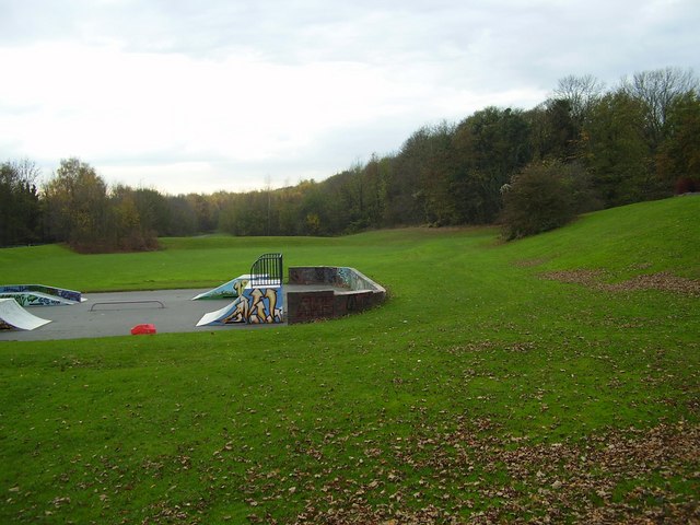
Image: © Ashley Dace Taken: 25 Jul 2006
Langold skate park and public space. Langold is a former mining village and this area used to have a colliery line (to Firbeck Colliery) running through the site.
Images are licensed for reuse under creativecommons.org/licenses/by-sa/2.0
Image Location
Latitude
53.373928
Longitude
-1.122016