Woodhouse Farm
Introduction
The photograph on this page of Woodhouse Farm by Graham Horn as part of the Geograph project.
The Geograph project started in 2005 with the aim of publishing, organising and preserving representative images for every square kilometre of Great Britain, Ireland and the Isle of Man.

There are currently over 7.5m images from over 14,400 individuals and you can help contribute to the project by visiting https://www.geograph.org.uk
Woodhouse Farm
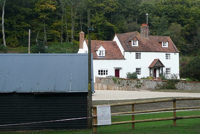
Image: © Graham Horn Taken: 9 Oct 2008
Lies in a dip between Wicks Wood (behind us) and Oaken Copse (beyond) at the western side of the square.
Images are licensed for reuse under creativecommons.org/licenses/by-sa/2.0
Image Location
Latitude
51.580122
Longitude
-1.077194