The lower end of Edge Top Road, Thornhill
Introduction
The photograph on this page of The lower end of Edge Top Road, Thornhill by Humphrey Bolton as part of the Geograph project.
The Geograph project started in 2005 with the aim of publishing, organising and preserving representative images for every square kilometre of Great Britain, Ireland and the Isle of Man.

There are currently over 7.5m images from over 14,400 individuals and you can help contribute to the project by visiting https://www.geograph.org.uk
The lower end of Edge Top Road, Thornhill
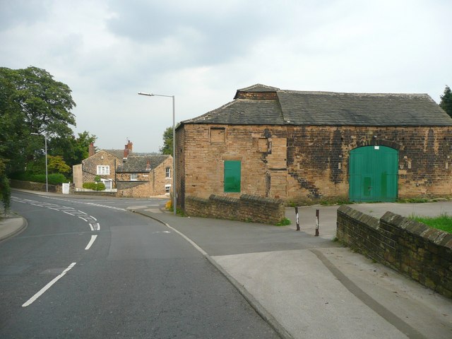
Image: © Humphrey Bolton Taken: 18 Sep 2008
The road junction is with The Town, and Overthorpe Road continues round to the left. The building on the right looks like a former barn.
Images are licensed for reuse under creativecommons.org/licenses/by-sa/2.0
Image Location
Latitude
53.665099
Longitude
-1.626152