A338 on Furzewick Down
Introduction
The photograph on this page of A338 on Furzewick Down by Chris Heaton as part of the Geograph project.
The Geograph project started in 2005 with the aim of publishing, organising and preserving representative images for every square kilometre of Great Britain, Ireland and the Isle of Man.

There are currently over 7.5m images from over 14,400 individuals and you can help contribute to the project by visiting https://www.geograph.org.uk
A338 on Furzewick Down
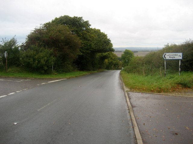
Image: © Chris Heaton Taken: 5 Oct 2008
The main road descends north to Wantage, while the minor road descends via the Court Hill Centre to Letcombe Regis.
Images are licensed for reuse under creativecommons.org/licenses/by-sa/2.0
Image Location


Leaflet Map data © OpenStreetMap
Latitude
51.561602
Longitude
-1.431581