Aldridge Avenue, Enfield Lock
Introduction
The photograph on this page of Aldridge Avenue, Enfield Lock by David Kemp as part of the Geograph project.
The Geograph project started in 2005 with the aim of publishing, organising and preserving representative images for every square kilometre of Great Britain, Ireland and the Isle of Man.

There are currently over 7.5m images from over 14,400 individuals and you can help contribute to the project by visiting https://www.geograph.org.uk
Aldridge Avenue, Enfield Lock
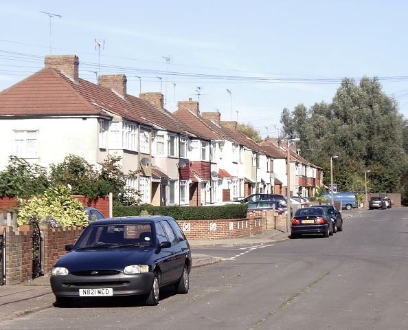
Image: © David Kemp Taken: 11 Oct 2008
The houses seen here are just within the gridsquare since the boundary runs up the centre of the roadway. This part of Enfield was once a thriving manufacturing area and from the late nineteenth century until the mid-twentieth a considerable amount of terraced housing was constructed.
Images are licensed for reuse under creativecommons.org/licenses/by-sa/2.0
Image Location
Latitude
51.667596
Longitude
-0.02068