Holy cow
Introduction
The photograph on this page of Holy cow by MD as part of the Geograph project.
The Geograph project started in 2005 with the aim of publishing, organising and preserving representative images for every square kilometre of Great Britain, Ireland and the Isle of Man.

There are currently over 7.5m images from over 14,400 individuals and you can help contribute to the project by visiting https://www.geograph.org.uk
Holy cow
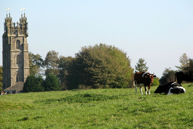
Image: © MD Taken: 12 Oct 2008
This photo shows part of Dundry church as seen from Dundry Down. After walking across this field we found a sign that had fallen off the stile - 'Bull in field with cows - NO ACCESS'.
Images are licensed for reuse under creativecommons.org/licenses/by-sa/2.0
Image Location
Latitude
51.399397
Longitude
-2.637177