Whitchurch Arm
Introduction
The photograph on this page of Whitchurch Arm by Stephen McKay as part of the Geograph project.
The Geograph project started in 2005 with the aim of publishing, organising and preserving representative images for every square kilometre of Great Britain, Ireland and the Isle of Man.

There are currently over 7.5m images from over 14,400 individuals and you can help contribute to the project by visiting https://www.geograph.org.uk
Whitchurch Arm
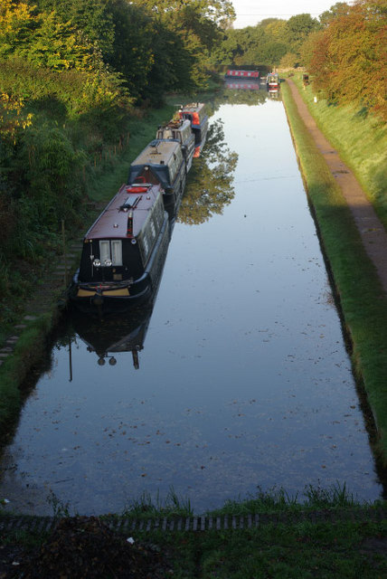
Image: © Stephen McKay Taken: 8 Oct 2008
This short arm off the Llangollen Canal has been restored to give moorings within a reasonable distance of Whitchurch town centre. The winding hole (turning point) is on the left just beyond the line of moored boats. The picture was taken from Chemistry Bridge.
Images are licensed for reuse under creativecommons.org/licenses/by-sa/2.0
Image Location


Leaflet Map data © OpenStreetMap
Latitude
52.969598
Longitude
-2.700832