A view of Church Street (9)
Introduction
The photograph on this page of A view of Church Street (9) by Chris' Buet as part of the Geograph project.
The Geograph project started in 2005 with the aim of publishing, organising and preserving representative images for every square kilometre of Great Britain, Ireland and the Isle of Man.

There are currently over 7.5m images from over 14,400 individuals and you can help contribute to the project by visiting https://www.geograph.org.uk
A view of Church Street (9)
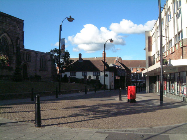
Image: © Chris' Buet Taken: 3 Jul 2008
This photograph shows a view of Church Street, the building on the left of the photograph is St Editha's Church, which can be seen more fully in this photograph, taken from a different location Image The building on the right of the photograph is the Town centre CO-OP building, which can be seen more fully in this photograph Image The red structure are two postboxes, which are shown more closely in these photographs Image and Image
Images are licensed for reuse under creativecommons.org/licenses/by-sa/2.0
Image Location
Latitude
52.633718
Longitude
-1.694396