Manor House, Bishop's Hull
Introduction
The photograph on this page of Manor House, Bishop's Hull by Derek Harper as part of the Geograph project.
The Geograph project started in 2005 with the aim of publishing, organising and preserving representative images for every square kilometre of Great Britain, Ireland and the Isle of Man.

There are currently over 7.5m images from over 14,400 individuals and you can help contribute to the project by visiting https://www.geograph.org.uk
Manor House, Bishop's Hull
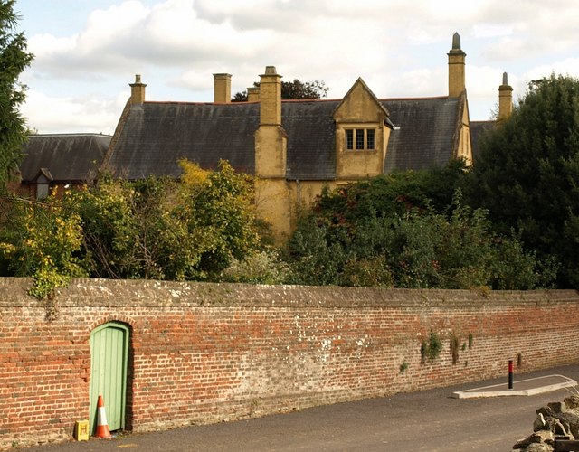
Image: © Derek Harper Taken: 9 Oct 2008
The west range of the manor, which dates from 1586, seen over the wall along Bishop's Hull Hill from the churchyard. http://www.tauntondeane.gov.uk/tdbcsites/her/her_lb/lbdets.asp?id=000158
Images are licensed for reuse under creativecommons.org/licenses/by-sa/2.0
Image Location
Latitude
51.016708
Longitude
-3.133878