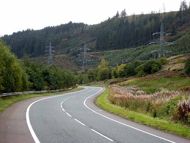
National Cycle Network route 74 and B7076
Introduction
The photograph on this page of National Cycle Network route 74 and B7076 by Oliver Dixon as part of the Geograph project.
The Geograph project started in 2005 with the aim of publishing, organising and preserving representative images for every square kilometre of Great Britain, Ireland and the Isle of Man.
There are currently over 7.5m images from over 14,400 individuals and you can help contribute to the project by visiting https://www.geograph.org.uk

Image: © Oliver Dixon Taken: 11 Oct 2008
In recent years the A74 has been replaced by the M74. Between Hartshope Image and Coatsgate Image, the motorway follows the alignment of the old road. A new road (part of the B7076) has been constructed along the west side of the river for local access and to serve frontage owners. Cycle lanes have been established on both sides of this road and the whole length of the B7076 has been designated as National Cycle Network http://www.sustrans.org.uk/default.asp?sID=1089735289781 route 74. Although a bit monotonous, this is the one part of the National Cycle Network which provides a continuous length for high-speed cycling from Gretna on the Scottish Border up to north of Abington. The valley of the Evan Water is very narrow at this point and the M74 and B7076 are confined to the valley floor, along with a line of pylons, and the West Coast Main Line railway (between the road and the pylons but not visible on this image).

