The Braes of Tulliemet
Introduction
The photograph on this page of The Braes of Tulliemet by Gordon Brown as part of the Geograph project.
The Geograph project started in 2005 with the aim of publishing, organising and preserving representative images for every square kilometre of Great Britain, Ireland and the Isle of Man.

There are currently over 7.5m images from over 14,400 individuals and you can help contribute to the project by visiting https://www.geograph.org.uk
The Braes of Tulliemet
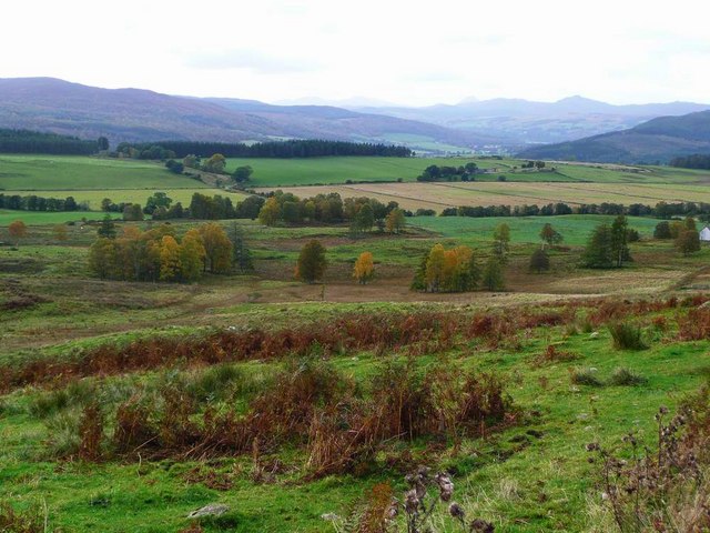
Image: © Gordon Brown Taken: 12 Oct 2008
The cone of Schiehallion can just be seen on the horizon a quarter in from the right; the Ben Lawers massif to the left of that. Autumn colours are looking grand.
Images are licensed for reuse under creativecommons.org/licenses/by-sa/2.0
Image Location


Leaflet Map data © OpenStreetMap
Latitude
56.646982
Longitude
-3.62146