Stacey's Lane, Upper Wanborough, Swindon
Introduction
The photograph on this page of Stacey's Lane, Upper Wanborough, Swindon by Brian Robert Marshall as part of the Geograph project.
The Geograph project started in 2005 with the aim of publishing, organising and preserving representative images for every square kilometre of Great Britain, Ireland and the Isle of Man.

There are currently over 7.5m images from over 14,400 individuals and you can help contribute to the project by visiting https://www.geograph.org.uk
Stacey's Lane, Upper Wanborough, Swindon
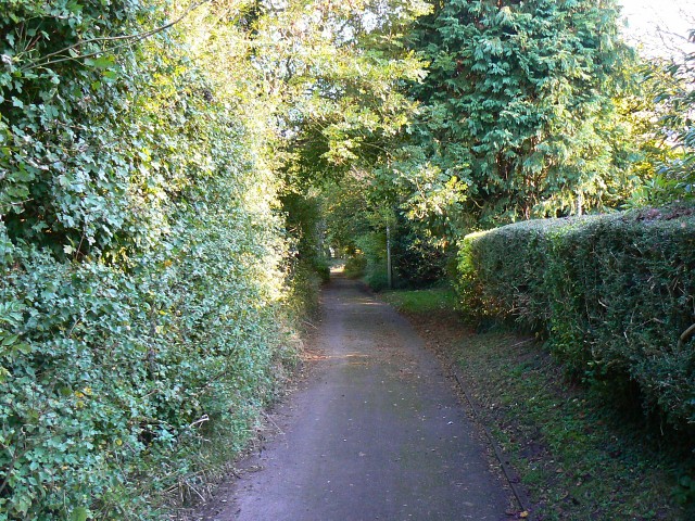
Image: © Brian Robert Marshall Taken: 12 Oct 2008
Officially classed as a footpath, Stacey's Lane provides access to a property and so allows for vehicular access.
Images are licensed for reuse under creativecommons.org/licenses/by-sa/2.0
Image Location
Latitude
51.544425
Longitude
-1.697128