Terrace houses, Moorlands Road, Mount, Longwood
Introduction
The photograph on this page of Terrace houses, Moorlands Road, Mount, Longwood by Humphrey Bolton as part of the Geograph project.
The Geograph project started in 2005 with the aim of publishing, organising and preserving representative images for every square kilometre of Great Britain, Ireland and the Isle of Man.

There are currently over 7.5m images from over 14,400 individuals and you can help contribute to the project by visiting https://www.geograph.org.uk
Terrace houses, Moorlands Road, Mount, Longwood
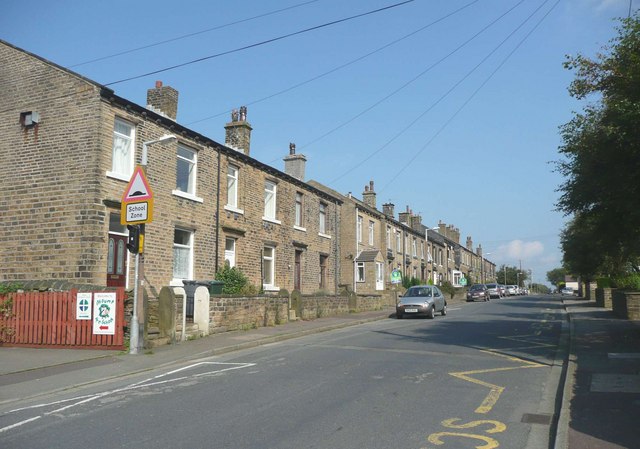
Image: © Humphrey Bolton Taken: 18 Sep 2008
Why so many 19C houses here? No textile mill nearby, but there was a quarry just round the corner, and also the road used to be called Coal Pit Lane.
Images are licensed for reuse under creativecommons.org/licenses/by-sa/2.0
Image Location
Latitude
53.658403
Longitude
-1.854699