Pink House, near Coggeshall
Introduction
The photograph on this page of Pink House, near Coggeshall by Trevor Harris as part of the Geograph project.
The Geograph project started in 2005 with the aim of publishing, organising and preserving representative images for every square kilometre of Great Britain, Ireland and the Isle of Man.

There are currently over 7.5m images from over 14,400 individuals and you can help contribute to the project by visiting https://www.geograph.org.uk
Pink House, near Coggeshall
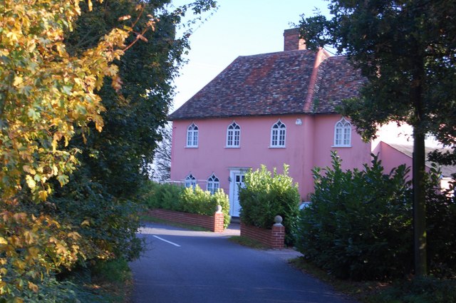
Image: © Trevor Harris Taken: 12 Oct 2008
Seen from the road to Marks Hall, this attractive house stands at the junction of it and Earls Colne Road.
Images are licensed for reuse under creativecommons.org/licenses/by-sa/2.0
Image Location
Latitude
51.884736
Longitude
0.691599